")
")
")
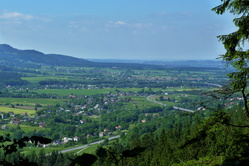
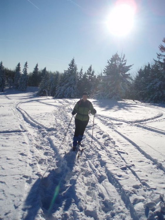
Skialpinism in Těšínské Beskydy
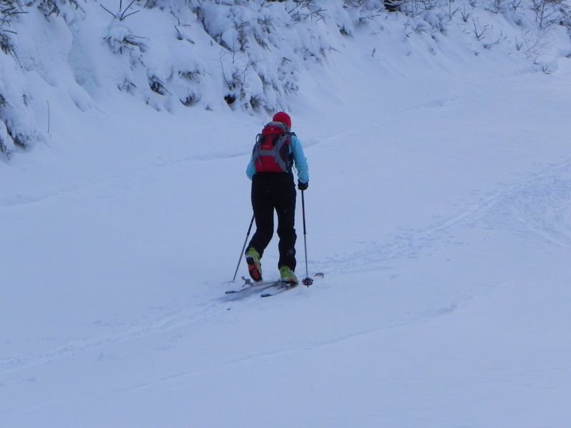
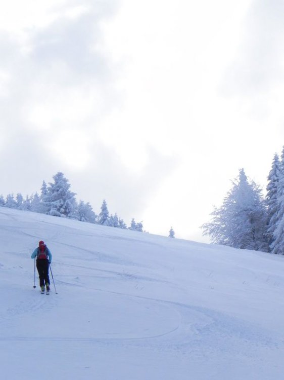
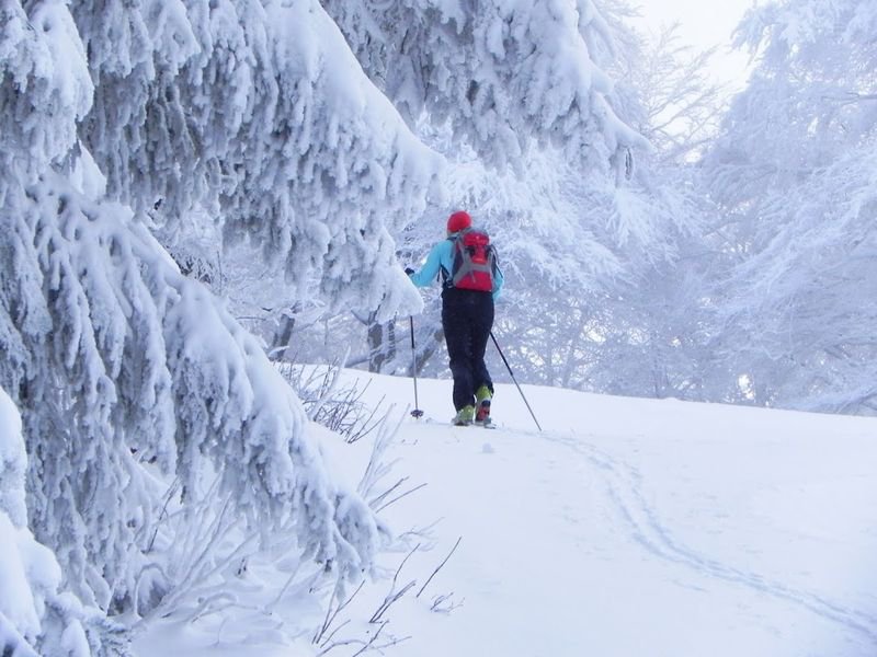
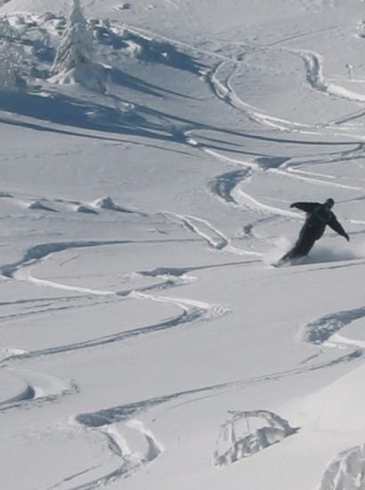
SkiAlpinismus,as a whole word says was "invented" in the Alps among people, who needed to move themselves from the one cottage to another. It didn´t matter if the country was plain or not. They could also use their SkiAlps in the way from hill. In case, you do not know what skialpinismus is, keep on reading. Simply said skialpinismus is combination or connection of downhillskiing and cross country skiing.
Thanks to the special bindings and "go up belts" you can plainly rise to the hills in whichever countryside. Afterwards, switching off bindings and taking off "go up belt“ you can go down of the hill It is irrelevant if you want to go down of the slope, or in freeright area. We do have perfect conditions for practising skialpinism in Těšínské Beskydy. One of the most searchable places are Javorový near Třinec, Ostrý or Mosty u Jablunkova and the valley of Lomná. Followers of competitions can compete on 8 th February in the Javorový peak " O pohár javorového usty".
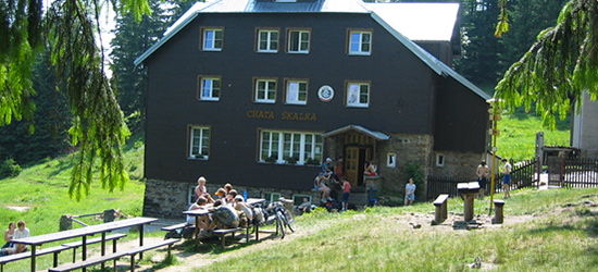
From the Šance straightly to the Skalka (Severka)
Lenght of the track is cca 3km, cant cca 400m, appropriate skis: "skialps" or BC
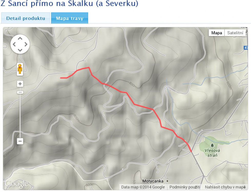
Short skitouring track goes through unknown places from Mosty u Jablunkova- Šance to Skalka cottage. You will go from pub " Na Šancích" past the stop, then short distance along asphalt road up between houses. After paging the last cottage, turn slightly to the left side past old quarry and waterworks to the first traverse route. Directly across it, you will go along forest unused track, than along paging the culmination point you will head slightly to the right side rising to the second traverse route (asphalt). Keep on going through the traverse route, you will go slightly across the road, which is not used, to the left side, to the hill and mild descent to the stream. Then you will head upraight to the contour line in the edge of forest to next traverse road. Afterwards you will proceed going 40 m to the left and then continue immidiately to the right side to forrest, where you will find a road, which is unused. If your hike culminates and road is curling, keep on going to the right through forest around old towage to Skalka. After passing a meadow we can turn left and go ahead to the Skalka cottage - format .gpx.
Dolní Lomná - Severka
The route is cca 4 km long with cca 520 m cant, apptly skis: "skialps" or BC
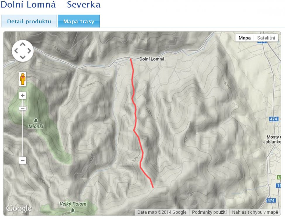
Skitouring track uses the ridge which is situated between valley of Křínovský and Jestřábí potok, which heads to massif Velký Polom and ends at the end of crossroad Kostelky. The most ideal place where you can start is bridge across river Lomná in th Dolní LOmná village (opposite to pub "Doma"). The track intersects plains.They are mechanically treated country rails in direction to above mentioned ridge. On the top of ridge above Latkula locality, passes form the right broadcaster and after cca 100m connects the blue tourist mark heading to Kostelky.If you go along blue mark, you will keep on going under hard-core ostroh, which passes to the right side. In this place track laeaves tourist markand proceeds along the traverse path in right direction.Afterwards passing cca 300m, behind wood, track goes back to the tourist mark. But then, you have to manage 50m steep hike. Subsequently track continues along blue tourist mark to the station of Mountain Rescue Service. From this place you will go to edge of slope to the ridge of Skalka cottage - format .gpx
Trails you can download from interactive maps on website:www.tesinskeslezsko.cz