")
")
")
Country ski trail International health track
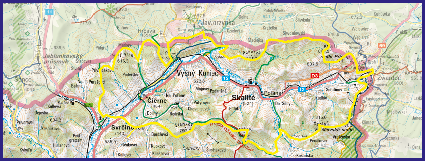
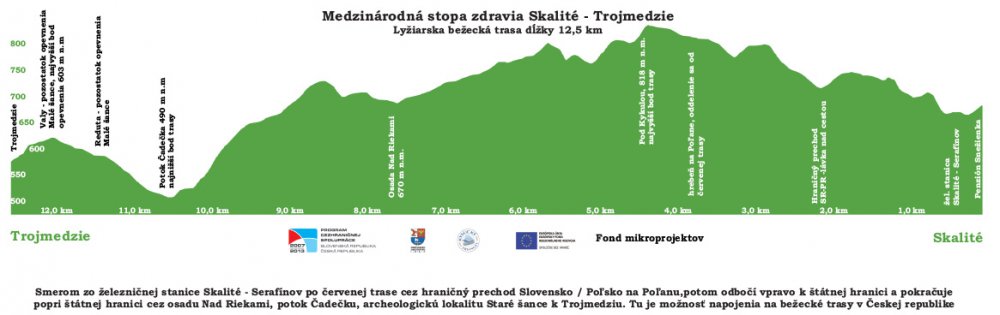
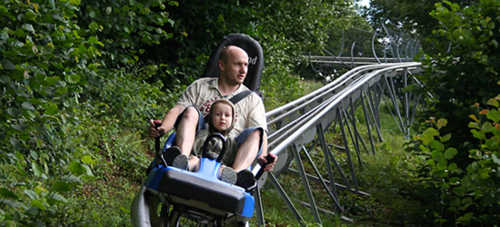
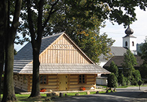
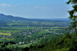
Such a big new of winter season 2013-2014 cross country skiing for lovers is mechanically treated cross ski trail " International health track", which comes from Skalité (SK) to the Trojmezí across the Svrčinovec to the Tři kopce and then back to Skalité. The route is 45 km long. The lowest point of the track is in Svrčinovec (456 metres above the sea level) and the highest one on the top of Liesková nad Skalitým (836 metres above the sea level). If you are interested in this track, you can start your trip from many places such as Půlgrun in Markov or Svrčinovec.
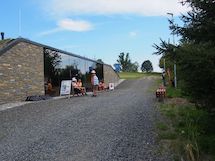
This is a description of the official start point near the bistro Snežienka na Skalitém in the part of Serafínov. From this base camp you head into the PL-SK border. Go through the bridge which is situated in 704 metres above the sea level. After that we keep on going to the ridge of Polana, farther head for the north back to the state border to the hill Kykula. Then from the settlement of Rieka, go on westward to the village of Čierne, where you go across the stream Čadečka along the state border continue in the way to the Trojmezí. Before it, you will cross border with Poland and then, continue in the direction to the TRojmezí. From the TRojmezí you will go to the Czech Republic. Then the track goes back to the Slovakia in the valley of the stream. You will go a short distance along the railroad track. After 700 m the route goes back across Kozové vršky to the borders near Hrčava. The Route leads to the valley of Čierný stream and proceeds in the direction of Markov and Půlgrun. Afterwards, from Půlgrun in the direction of green marks the country ski trail falls to the Svrčinovec church, which is the lowest point of the whole track. In this place the track passes on the other side of the dale and rises to the hill. Go through undulating ridge Stankovo and Tri hills along the green trail. From there you go along the red trail proceeding to Liesková. The top of Liesková we will depart in the green trail then we go along the stream to the Švancarovci settlement, hereafter track begins to rise around Osolný massif, which leads to the border with Poland - Vreščovské saddle. Endways border it won´t take too much time to the slopes in the Serafinov ski center back to Bistro Snežienka.
More inforamtion you will find in websites of operator and in promotional brochures - page 1, page 2.
Connection from the Czech Republic:
- in the Hrčava - trojmezí, GPS TROJMEZÍ: 49°31'2.130"N, 18°51'3.965"E
- along the green trail from Studeničné in direction to the PUlgrun, GPS Studeničné: 49°31'0.112"N, 18°42'57.462"E
- across Markov - from mechanically treated trails between Studeničné and Girová turnoff on the right side along access road to the Girova cottage, GPS turnoff Markov: 49°31'48.278"N, 18°47'43.652"E
HINT: Do not forget to take euro currency with you.